Blizzard blankets area
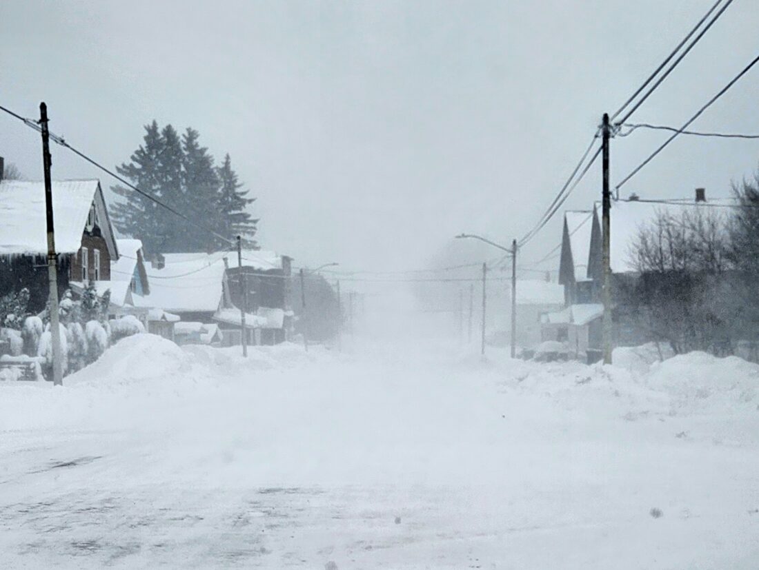
Gazette file photo A snowstorm, like the one shown here from earlier this month, hit the Keweenaw, and most of the Upper Peninsula beginning last night. The National Weather Service says the worst of the storm, which dumped in excess of a foot of snow in many places, is over.
HOUGHTON — As forecasted a severe winter storm hit the Copper Country, beginning Sunday evening and continuing through today. School closings, always a marker of blizzard severity, were not an indicator as local schools are still on holiday break.
According to the weather reporting station at the Keweenaw County Road Commission in Mohawk, around 14 inches of snow was recorded between last night and this morning. Local reports of 8-12 inches of snow was the norm throughout the region.
While schools were not in session, the weather caused cancellation or closures nonetheless. Most scheduled high school sporting events have been postpones, many county and city offices are closed and many area banks are either closed or will open later. Both Houghton and Hancock city transit services are cancelled for today. Both the Portage Lake District Library and the L’Anse Library are closed today and Copper Shores Meals on Wheels will not operate, and Meet and Eat sites are canceled.
While most are digging out today, the National Weather Service office in Marquette predicts the worst is over. Today’s forecast calls for a chance of snow before 1 p.m., then a chance of snow showers, mainly between 1 and 5 p.m. Areas of blowing snow. Cloudy, with a high near 16. Wind chill values between -5 and zero. Blustery, with a northwest wind 20 to 25 mph, with gusts as high as 55 mph. Chance of precipitation is 50%. Total daytime snow accumulation of around an inch possible.