Winds compound blizzard conditions
Gusts of 60+ mph reported locally
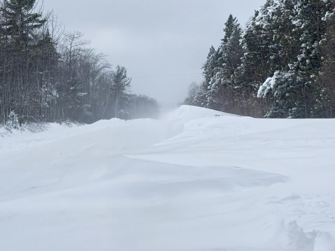
Paula Porter/For the Gazette High winds, coupled with nearly a foot of new snow, caused extensive drifting and poor visibility throughout the area Monday as seen on Fisherman's Road near Calumet
HOUGHTON — While the Keweenaw escaped the extreme end of forecasted snow Sunday evening (more than 20 inches was initially forecasted), most of the region saw between 8-13 inches of snow. Allouez recorded 12 inches, and the Keweenaw County Road Commission reported 14. Those were the extremes, with Houghton and Hancock each reporting around 8 inches. Calling it “quite a storm,” meteorologist Joseph Phillips of the National Weather Service Office in Marquette told the Daily Mining Gazette that while the Keweenaw may have escaped the big dump of snow, areas of Marquette County were not so lucky. “Champion saw the highest snow total for the storm at 24 inches,” Phillips said. Nearby Marquette reported 22.3 and Herman, in Baraga County, led the western UP with 20 inches.
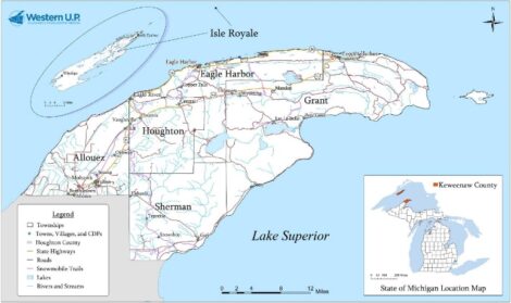
However, the big story was high winds, often gusting in excess of 60 mph, which greatly reduced visibilty and created dangerous snow drifts. The highest wind gusts in the UP were just west of Escanaba on the shores of Lake Michigan. The Ford River Light recorded gusts of 70 mph. On Lake Superior, Stannard Rock reported 69 mph gusts while Rock of Ages on Isle Royale had 63 miles an hour. By comparison the winds on Nov. 10, 1975, the night the Edmund Fitzgerald sank, were slightly less at about 60 mph.
On land, the Houghton County Memorial Airport saw winds gusting at 60 MPH, while Copper Harbor reported 62 mph. The high winds have tapered off, with today’s gusts not expected to exceed 20 mph.
Front Page

Winds compound blizzard conditions
A Significant impact
HOUGHTON – A proposal to break up the National Center for Atmospheric Research (NCAR) in Boulder, Colorado, could ...
Consolidation approved
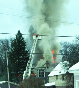
Fire in Dollar Bay
A Superior state?
DITOR’S NOTE: This story was originally published by Bridge Michigan, a nonprofit and nonpartisan news ...