Winter’s back
Blizzard produced less snow than predicted
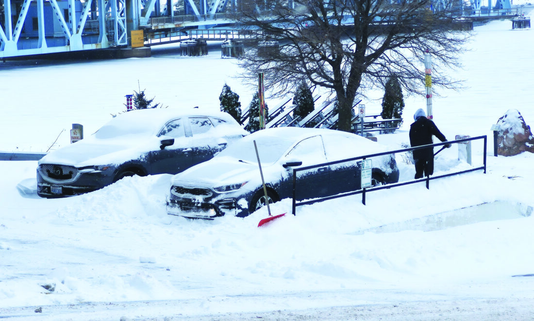
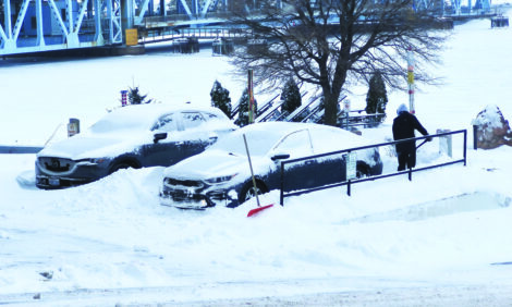
Graham Jaehnig/Daily Mining Gazette While heavy snow began to taper off early Monday morning, Sunday night’s blizzard left motorists across the Upper Peninsula digging out of parking spaces and driveways.
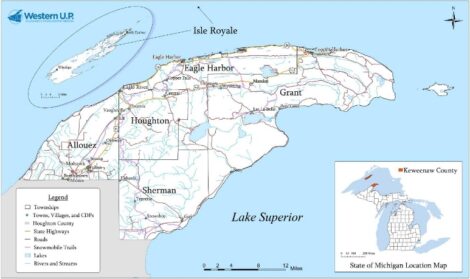
COPPER COUNTRY — The blizzard that began Sunday evening and lingered into Monday morning has dumped more than 14 inches of snow on the Copper Country, according to the Keweenaw County Road Commission (KCRC).
KCRC Engineer and Manager Greg Kingston said KCRC crews have encountered the usual problems.
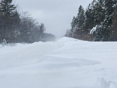
“We had a lot of blowing and drifting in the usual spots,” Kingston said. “The area by Lake Medora was blocked until Monday morning, because we had some trouble getting through there.”
Kingston said while there are still some trees down and scattered power outages, this storm does not seem to have been as bad as the blizzard that struck the Copper Country on Nov. 27-28.
According to the Upper Peninsula Power Company’s (UPCCO) outage map, there were scattered power outages, including 19 customers along the Gay-Lac La Belle Road without power, while in Houghton County, another 19 customers in the Rabbit Bay, 10 in the Chassell area remained without power as of Monday morning, while crews were working to restore power.
“I don’t think it’s as bad as the last storm, though, there’s a lot less trees down, because it wasn’t that wet, heavy snow like the storm before Thanksgiving,” he said.
Initial predictions indicated as much as two feet of snow, but local reports indicated betweeen 7-14 inches in the Houghton-Keweenaw County area.
Road crews will continue clearing blocked roads, said Kingston.”There are some sections we haven’t been able to get to with the plow, but we’ll be double-shift here this afternoon,” he said. “The afternoon shift will be getting through those areas that we couldn’t get through this morning.”
In Houghton County, the Sheriff’s Office reported some of the back roads were impassible due to severe drifting, but the “Upper Highway,” U.S. 41 between Hancock and Calumet, was not extreme. Houghton County Road Commission personnel could not be reached for comment.
The National Weather Service in Marquette Monsdday morning reported a blizzard warning remaining in effect until 4 p.m. The storm was predicted to continue into Monday evening, with wind chill values between -5 and zero and northwest winds around 25 mph, with gusts as high as 50 mph.
Front Page
Winter’s back
Winds compound blizzard conditions
A Significant impact
HOUGHTON – A proposal to break up the National Center for Atmospheric Research (NCAR) in Boulder, Colorado, could ...
Consolidation approved
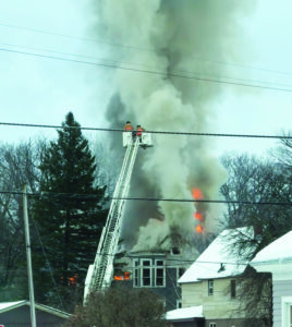
Fire in Dollar Bay
A Superior state?
DITOR’S NOTE: This story was originally published by Bridge Michigan, a nonprofit and nonpartisan news ...