Eat Safe Fish
GLPAN releases new map
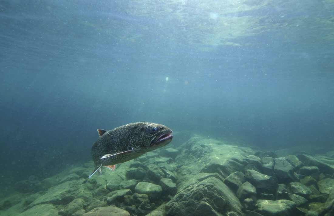
In this photo provided by the Great Lakes Fishery Commission, a lake trout swims off Isle Royale.
LANSING – The Great Lakes PFAS Action Network (GLPAN) has announced the launch of a new interactive online mapping tool that allows Michiganders to easily search for bodies of water that have health and consumption warnings for PFOS (a type of PFAS) in fish.
Developed in collaboration with the Ecology Center, the map compiles the Michigan Department of Health and Human Services’ (MDHHS) updated 2025 fish “Do Not Eat” and consumption limitation advisories for PFOS into a single, easy-to-use visual tool, giving anglers, families and communities access to critical information to protect their health. Map users can also segment by state House, state Senate and congressional districts.
“For many Michiganders, fishing is not just recreation – it’s a tradition, a way of life, a means to put food on the table,” said Tony Spaniola, co-chair of the GLPAN. “As thousands of anglers head out to fish Michigan’s lakes, rivers and streams this winter, this tool serves as a critical resource to ensure people know if the fish they are catching are safe to eat. People shouldn’t have to comb through complicated government websites to figure that out.”
Michigan’s “Eat Safe Fish Guides” dramatically expanded in 2025 with new data showing dangerous levels of PFOS accumulating in waterbodies and fish across the state. “Do Not Eat” warnings due to PFOS are now triggered at 50 parts per billion (ppb) found in fish, a much lower level than the previous 300 ppb, and consumption limitation advisories are now triggered at 1.5 ppb, rather than the previous 9 ppb. The number of affected waterbodies with a “Do Not Eat” due to PFOS tripled to 102 of the more than 600 waterbodies tested, with 786 total advisories due to PFOS across multiple species and waterbodies.
However, the fish safety guidelines have not been widely distributed, resulting in limited public awareness.
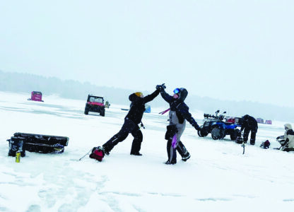
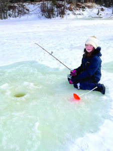
The GLPAN’s new online map provides a visual, location-based tool for families, anglers and communities to search by water body, region or district to access accurate information and make educated decisions. While the map is far from a solution to the toxic PFAS crisis in Michigan, it is a resource designed to help safeguard human health. As ice fishing season begins, please share the map tool with anglers and families heading out onto frozen lakes and rivers.
Michigan’s “Eat Safe Fish Guides” highlight additional consumption advisories for additional chemicals of concern, such as PCBs, dioxins and mercury. Anglers should refer to the guide for a full list of impacted water bodies and advisories.